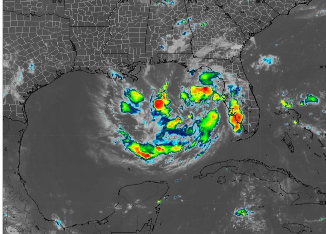
Tropical Depression Two formed Sunday over the northeastern Gulf as forecasters warned of strong thunderstorms across parts of Florida and the Southeast.
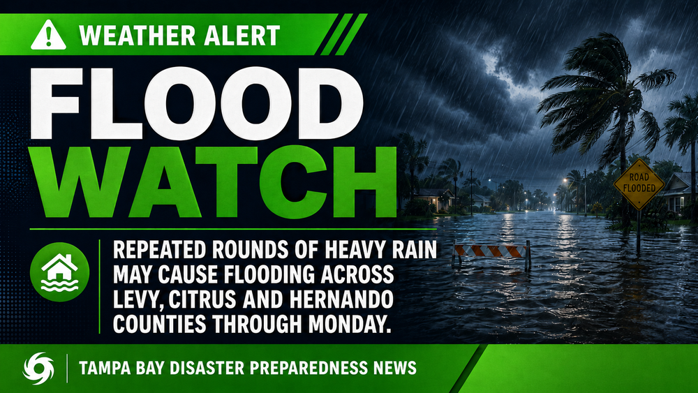
The developing tropical system and a separate weather pattern could bring heavy rain, gusty winds and localized flooding to portions of the state.
The National Hurricane Center issued a Tropical Storm Watch for Florida's Panhandle from the Ochlockonee River west to the Alabama border as Tropical Depression Two slowly strengthens over the Gulf.
Tropical Depression #Two (02L) Advisory 1:
— Weather Track US (@weathertrackus) July 19, 2026
Two has formed in the Eastern Gulf this morning, and may become Tropical Storm Bertha by tomorrow, as the system moves to the NW.
Gusty winds and heavy rains are the main impacts across the Gulf Coast this week. pic.twitter.com/TpYg3BkMME
Why it matters: Tropical storm conditions are possible within the watch area during the next 36 to 48 hours, with additional watches and warnings likely.
The latest:
- Tropical Depression Two was located about 28.0°N, 85.3°W Sunday morning.
- The system is moving north-northwest at 2 mph.
- Maximum sustained winds are 30 mph.
- Forecasters expect the depression to become a tropical storm tonight or Monday.
Forecast track: The depression is expected to move near or along the northern Gulf Coast over the next several days before turning west.
11 am update on Sunday...the low in the Gulf we have bene tracking has organized into Tropical Depression #2. It could become Tropical Storm Berth later today as it moves slowly toward the NW. @Jlinkerwx will have an update with Weather on the Nines pic.twitter.com/cteMQs29SB
— Spectrum Bay News 9 Weather (@bn9weather) July 19, 2026
Expected impacts:
- Wind: Tropical storm conditions are possible across the Florida Panhandle watch area beginning late Monday.
- Storm surge: Water levels of 1 to 3 feet above ground are possible along Florida's Gulf Coast from Indian Pass to Chassahowitzka, depending on the timing of high tide.
- Rain: Widespread totals of 2 to 4 inches, with isolated amounts up to 8 inches, are forecast from western Florida to coastal Alabama, Mississippi and Louisiana through Thursday, increasing the risk of localized flash flooding.
Bottom line: Tropical Depression Two is expected to strengthen into the season's next named storm as it approaches the northern Gulf Coast, bringing the threat of tropical-storm-force winds, heavy rainfall and coastal flooding beginning late Monday.