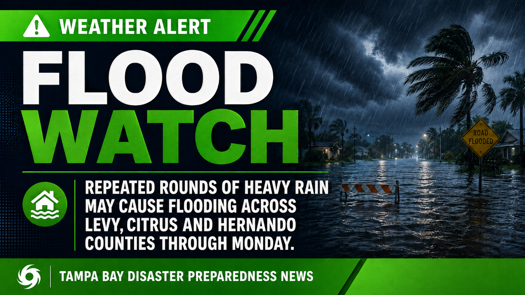
The National Weather Service has issued a Flood Watch for portions of west-central Florida as several days of heavy rain raise the threat of flooding through Monday evening.
Most of the area will see a break in the rain this evening, but more rounds of heavy rainfall is possible over the weekend. Some localized flooding is possible in heavier showers/storms. A High Risk of Rip Currents is also possible at local beaches. Have a great weekend. #flwx pic.twitter.com/FUZ9kubeg4
— NWS Tampa Bay (@NWSTampaBay) July 31, 2026
Why it matters: Deep tropical moisture, persistent southwest flow and a stalled frontal boundary are expected to produce widespread showers and thunderstorms capable of torrential rainfall.
Intermittent tropical rainforest coming to Florida Sunday. A lot of random downpours and storms, generally moving NE in direction. Heavy rain and lightning the biggest threat.
— Noah Bergren (@NbergWX) July 31, 2026
Severe risk pretty low. Lots of clouds most of the day as well. pic.twitter.com/4aSExGlrW7
The Flood Watch is in effect from noon Saturday through 8 p.m. Monday for:
- Coastal Levy
- Inland Levy
- Coastal Citrus
- Inland Citrus
- Coastal Hernando
- Inland Hernando
Forecasters say excessive rainfall could lead to flooding of rivers, creeks, streams, roads and other low-lying or flood-prone locations, especially where storms repeatedly move over the same areas.
Residents in flood-prone areas should closely monitor forecasts and be prepared for Flood Warnings if conditions worsen.
Safety tips:
- Never drive through flooded roadways.
- Monitor weather alerts throughout the weekend.
- Move valuables from flood-prone areas if necessary.
- Be prepared for rapidly changing conditions.
Bottom line: The greatest concern through Monday is not severe wind but repeated rounds of heavy rain that could produce localized flooding across parts of Levy, Citrus and Hernando counties.
This is the weekend's weather forecast for Florida.
— Florida Public Radio Emergency Network (FPREN) (@FloridaStorms) August 1, 2026
See the trough that will sweep across the Panhandle and North Florida? That will keep the flood risk present. The rest of the Peninsula will also have slightly higher-than-normal chances, but in spotty areas. pic.twitter.com/es41DHj462