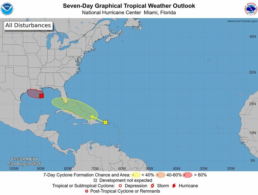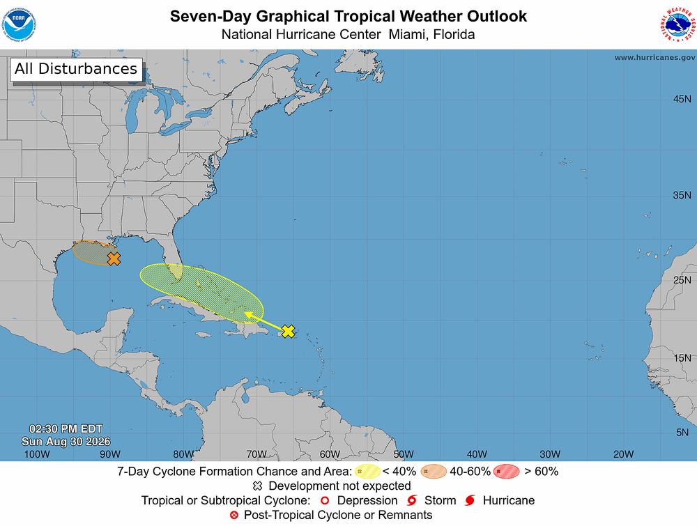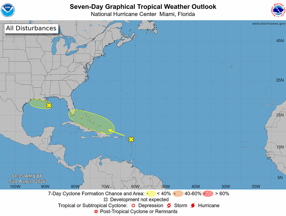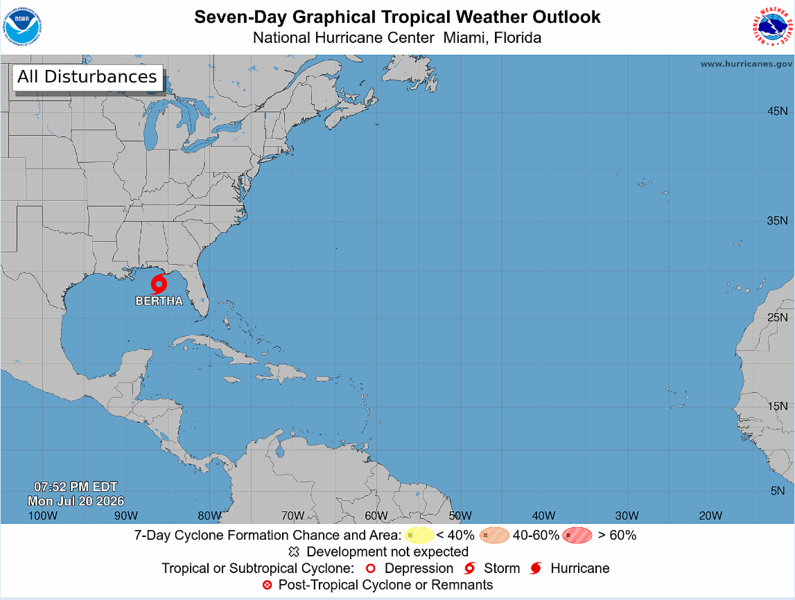
Tropical Storm Bertha formed Monday evening over the Gulf after Hurricane Hunter aircraft confirmed the system had strengthened from a tropical depression, according to the National Hurricane Center.
Why it matters: Bertha is expected to bring tropical-storm-force winds, storm surge and heavy rainfall to portions of the northern Gulf Coast over the next several days.
The latest:
- Bertha was located about 110 miles south of Panama City, Florida.
- Maximum sustained winds have increased to 40 mph.
- Storm Surge Watches and Tropical Storm Watches remain in effect along parts of the northern Gulf Coast.
- Forecasters say additional watches or warnings could be issued overnight or Tuesday.
Expected impacts:
- Tropical-storm-force winds are possible within the watch area.
- Heavy rainfall could trigger localized flash flooding.
- Storm surge and dangerous coastal conditions remain a concern along vulnerable sections of the Gulf Coast.
What's next: Bertha is expected to continue moving toward the northern Gulf Coast, where residents should closely monitor forecasts and prepare for changing conditions.
Bottom Line: Tropical Storm Bertha has become the Atlantic season's second named storm, and Gulf Coast residents should remain alert as the system continues to strengthen and approach land. For more details, head to https://www.nhc.noaa.gov/