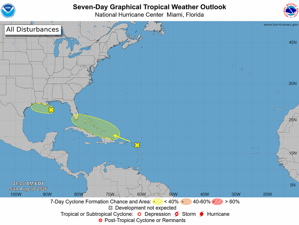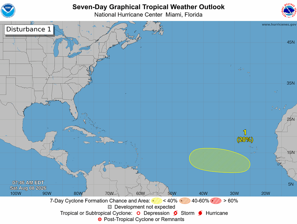
The federal government expects a quieter-than-normal Atlantic hurricane season, but Tampa Bay residents should not let the forecast change their hurricane plans as Florida enters the most active part of the season.
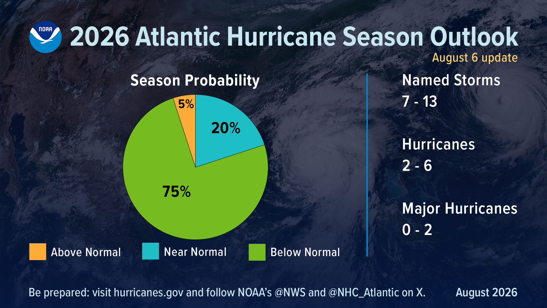
The National Oceanic and Atmospheric Administration, or NOAA, is the federal agency responsible for monitoring and forecasting weather, hurricanes, oceans and other environmental hazards. Its updated outlook, released Thursday, calls for 7 to 13 named storms, including 2 to 6 hurricanes and up to two major hurricanes during the full season, which runs through Nov. 30.
Why it matters: A seasonal forecast estimates how many storms may form across the entire Atlantic. It does not predict how many will hit Florida or Tampa Bay.
NOAA gives the 2026 season a 75% chance of finishing below normal, but the historical peak of hurricane season is still ahead in early September.
Fewer storms doesn't mean less risk
Only two named storms, Arthur and Bertha, have formed so far, and neither became a hurricane. But Arthur demonstrated why residents shouldn't focus solely on a storm's category.
"Inland rainfall is a major cause of damage from tropical storms and hurricanes, as Arthur demonstrated," said National Weather Service Director Ken Graham. "That's why it's important to prepare for every storm that's projected to impact your area, even if it never reaches hurricane strength."
Heavy tropical rain can flood streets, homes and businesses hundreds of miles from where a storm makes landfall.
Why forecasters expect fewer storms
One reason is El Niño, a recurring climate pattern involving unusually warm water in the tropical Pacific Ocean.
El Niño tends to produce stronger winds high in the atmosphere over the Atlantic. Those changing winds, known as wind shear, can disrupt developing tropical systems and make it harder for hurricanes to form or strengthen.
"When El Niño emerges, it usually becomes the dominant factor in total hurricane season activity," said Matt Rosencrans, NOAA's lead hurricane season forecaster.
But El Niño doesn't prevent hurricanes altogether.
What it means for Tampa Bay
Residents should continue preparing for storm surge, flooding, damaging winds, tornadoes and extended power outages, regardless of how many storms ultimately form.
Now is the time to know your evacuation zone, identify where you would go if ordered to leave, prepare several days of food and water, refill necessary medications, protect important documents and plan for losing electricity or cellphone service.
Coastal residents should pay particular attention to storm surge. People farther inland should not assume they are safe, either, because torrential rainfall and freshwater flooding can occur well away from the coast.
Disaster resilience takeaway
NOAA's forecast is about the entire hurricane season across the Atlantic, not Tampa Bay's individual risk.
Bottom line: A quieter hurricane season is good news, but it isn't an all-clear. Tampa Bay is entering the heart of hurricane season, and one storm passing through the wrong place can cause a major disaster. Residents should keep hurricane preparedness plans a priority through Nov. 30.