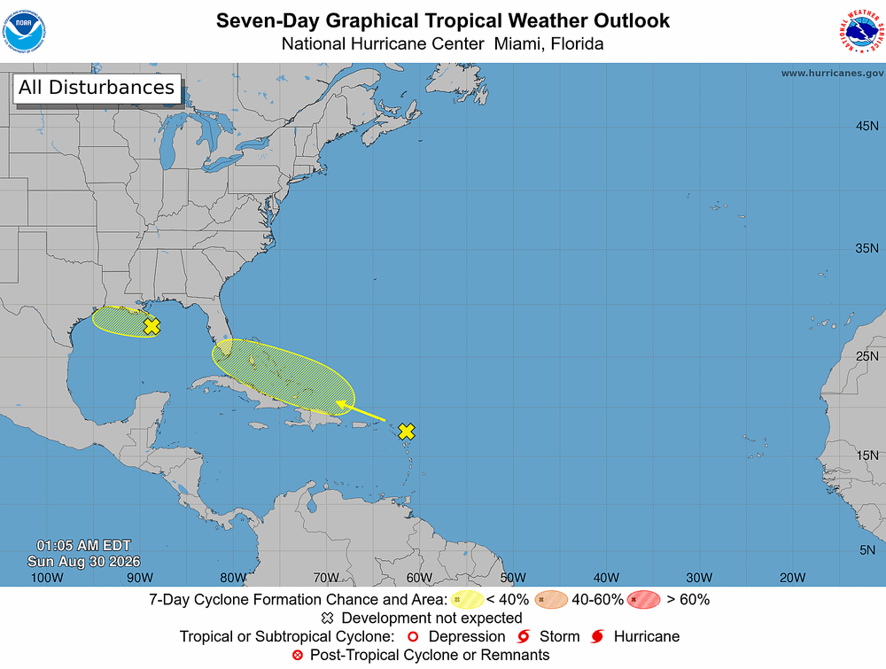
Tropical development in the Gulf remains unlikely through early next week, but Florida faces a higher threat from repeated rounds of heavy rain, localized flash flooding and a few severe storms.
The latest:
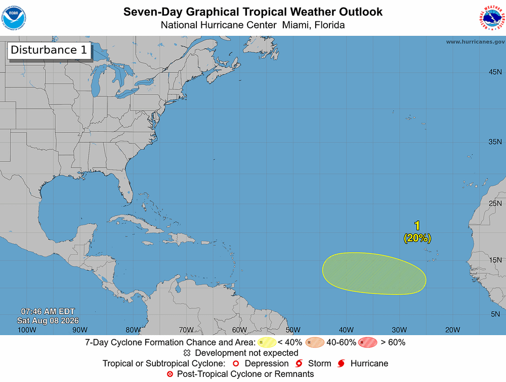
- National Hurricane Center forecasters expect no tropical cyclone development during the next seven days.
- Bertha will be the next Atlantic storm name if a system strengthens enough to earn a name.
- Forecast models continue showing an area of low pressure and abundant tropical moisture drifting across the eastern Gulf, fueling widespread thunderstorms rather than a well-organized tropical system.
Big picture:
- Heavy rain poses the greatest risk across west-central Florida, including Tampa and Sarasota.
- Some communities could receive 6 to 7 inches of rain by early next week, raising the threat of localized flash flooding.
- Orlando and Central Florida also face daily rounds of thunderstorms, although dry periods are expected between storms rather than all-day rainfall.
By the numbers:
- Atlantic hurricane season runs June 1 through Nov. 30.
- Tropical Storm Arthur remains the only named storm of the 2026 season after forming June 17.
- Peak hurricane activity typically arrives around Sept. 10.
What forecasters are watching:
- Warm Gulf waters remain favorable for tropical development.
- Strong wind shear continues limiting storm organization.
- Several forecast models hint at weak development near Florida's Big Bend or northern Gulf Coast, but confidence remains low that any system will become a tropical depression.
History:
Bertha has appeared multiple times in the Atlantic since the naming system began, including hurricanes in 1996, 2008 and 2014 and tropical storms in 2002 and 2020.
What's next: Florida residents should prepare for flooding rain, frequent lightning and isolated severe storms through Monday while monitoring forecast updates. Tropical development remains a low-probability scenario, but weather conditions can change quickly during hurricane season.