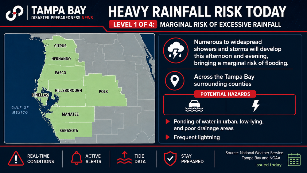
Pinellas County completed a flood vulnerability assessment to identify how sea level rise, storm surge and heavier rainfall could affect neighborhoods, roads and critical infrastructure over the coming decades.
The latest:
- County officials completed a two-phase study examining current and future flood risks.
- The assessment identifies vulnerable areas and helps guide long-term resilience planning.
- Findings will shape future infrastructure projects, policy decisions and flood mitigation efforts.
Big picture:
- Pinellas County's 590 miles of developed coastline and narrow geography leave many communities vulnerable to flooding.
- Rising sea levels, higher tides and stronger storms are expected to increase flood risks for homes, businesses and public facilities.
What's included:
- The study evaluated roads, wastewater facilities and other public infrastructure.
- Phase 1 projected flood risks for 2040, 2070 and 2100, finding more frequent tidal flooding and greater storm surge impacts.
- Phase 2 expanded the analysis to include heavy rainfall, additional infrastructure and adaptation strategies while supporting 10 neighboring municipalities through the Resilient Florida Program.
The bottom line: County leaders will use the assessment to prioritize projects and strengthen long-term protection for residents, infrastructure and essential public services against future flooding.