The National Hurricane Center increased the odds of Invest 91L developing into a tropical cyclone to 80%, signaling a growing chance the system becomes a tropical depression later Sunday.
8am EDT July 19th - There is a high chance (80%) of a tropical depression forming over the northern Gulf of America. Here are the updated Key Messages on the system (#AL91). pic.twitter.com/5gSmT9OQkL
— National Hurricane Center (@NHC_Atlantic) July 19, 2026
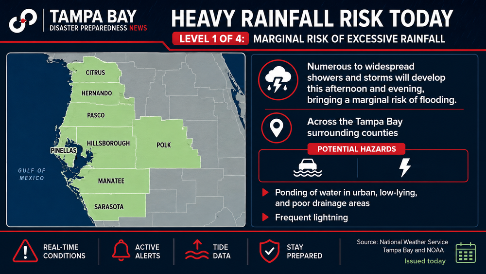
Why it matters: Tropical storm watches or warnings could be issued later Sunday for parts of the northern Gulf Coast as the system moves away from Tampa Bay.
The latest:
- Development odds increased from 60% to 80% Sunday.
- Hurricane Hunter aircraft are scheduled to investigate the disturbance Sunday afternoon.
- Forecasters expect a tropical depression could form later Sunday, with Tropical Storm Bertha possible by Monday.
Track: Current forecasts steer the system northwest toward the Florida Panhandle and the northern Gulf Coast, with the most likely landfall between the Florida Panhandle and Louisiana by the middle of the week.
Impacts:
- Rainfall totals of 2 to 4 inches, with isolated amounts up to 6 inches, could trigger localized flash flooding from the Florida Panhandle west to Louisiana.
- Gusty winds, rough surf and dangerous rip currents are also expected along portions of the Gulf Coast.
- Wind shear and dry air are expected to limit rapid strengthening, keeping the system relatively weak before landfall.
Bottom line: Tampa Bay's direct threat continues to decrease as the disturbance pulls away, but residents along the northern Gulf Coast should closely monitor forecasts as Invest 91L moves closer to becoming the season's next named storm.