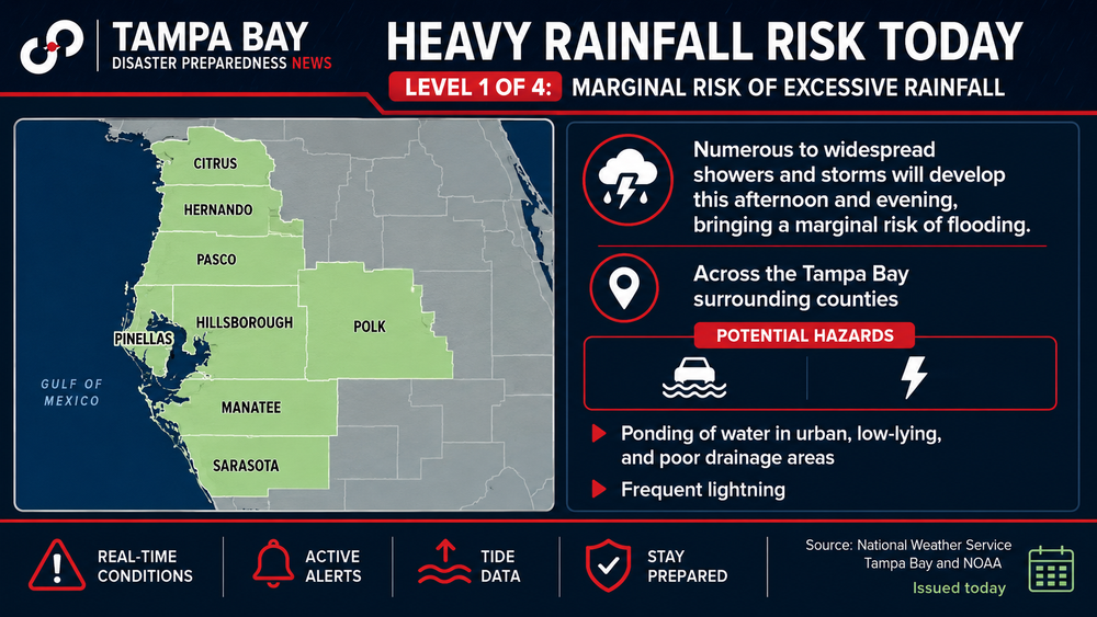
A record-strength El Niño could reduce the number of Atlantic hurricanes threatening Tampa Bay while increasing the likelihood of severe thunderstorms, tornadoes and heavy rain across Florida later this year.
The latest:
- Forecasters expect El Niño to strengthen through the remainder of 2026.
- More than 90% of forecast models now project a historically strong event, with tropical Pacific water temperatures expected to remain at record levels for months.
- Warm waters in the eastern Pacific are a defining feature of El Niño and often reshape weather patterns across North America.
Big picture:
- Strong El Niño events typically increase wind shear over the Atlantic, making hurricane development more difficult.
- Forecasters continue calling for a below-average to near-average Atlantic hurricane season.
- One landfalling storm can still have major impacts regardless of seasonal forecasts.
Why Tampa Bay should care:
- Fewer hurricanes do not guarantee quieter weather.
- A stronger subtropical jet stream during late fall and winter often brings more rounds of heavy rain, severe thunderstorms and isolated tornadoes to Florida, including the Tampa Bay region.
- Communities still recovering from the 2024 hurricane season could face additional flooding concerns if repeated winter storms develop.
By the numbers:
- More than 90% of forecast models project a historically strong El Niño.
- Pacific Ocean temperatures could remain at record levels for about six months, according to long-range forecasts.
The bottom line: Tampa Bay could benefit from fewer tropical systems during hurricane season if El Niño develops as forecast. Attention may shift to winter, when a stronger jet stream could increase the region's risk for severe weather, flooding and isolated tornadoes.