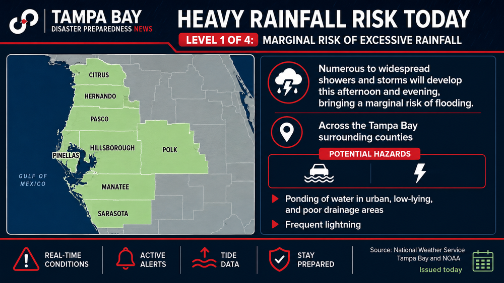
A surge of tropical moisture could bring several days of heavy downpours, localized flooding and isolated severe storms to the Tampa Bay area, even if no named storm develops.
Why it matters: A slow-moving Gulf disturbance is expected to bring several days of heavy rain, localized flooding and gusty storms to the Tampa Bay area, even though tropical development remains unlikely.
The latest:
- National Hurricane Center forecasters give the system a 20% chance of tropical development over the next seven days.
- Forecast models show the disturbance drifting slowly east across the northeastern Gulf and Florida through early next week.
- A flood advisory was issued for parts of Pinellas County Friday morning as storms moved through the region.
TROPICS UPDATE: GRAF model shows the possible timing and movement of the Gulf low over the weekend. It could be a significant rain-maker for the Florida Gulf coast, as the models show very slow drifting towards the east. There is still a low chance (20%) of tropical development. pic.twitter.com/fGWM4iF5iW
— Jared Silverman (@JaredWAFB) July 17, 2026
What to expect:
- Periods of heavy tropical downpours are expected from Friday through Monday.
- Localized flooding is possible in low-lying and poor-drainage areas.
- Wind gusts could reach 25 mph, with isolated stronger thunderstorms.
By the numbers:
- Tampa Bay could receive 6 to 8 inches of rain over the next seven days, with the heaviest rainfall expected Sunday.
- Tropical development chances remain at 20% through next week.
The bottom line: Flooding rain, not a named storm, remains the biggest concern for Tampa Bay as an unsettled weather pattern lingers into early next week.