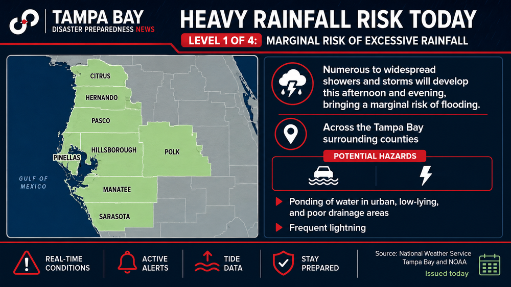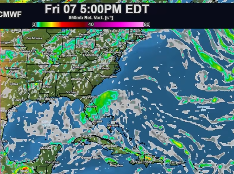
Just as parts of Florida deal with repeated rounds of heavy rain, forecasters are watching another area of tropical moisture that could bring more downpours to the state later this week and into next weekend.
Why it matters: The biggest concern is not wind, but flooding. Saturated ground and additional heavy rainfall could increase the risk of flooded roads, poor drainage flooding and localized flash flooding across parts of Florida.
The disturbance is expected to develop off Florida's Atlantic coast and may never become a named tropical system. Even so, forecasters say it could pull a plume of tropical moisture into the Southeast, including Florida.
Forecast models indicate the heaviest impacts will likely come from periods of heavy rain rather than damaging winds. Some areas of Florida have already received several inches of rain, with more expected over the coming days.
What Tampa Bay residents should do
- Monitor the latest forecasts throughout the week.
- Never drive through flooded roadways.
- Clear storm drains and gutters where safe.
- Review hurricane and flood plans before peak hurricane season intensifies.
Bottom line: Whether the system earns a name or not, forecasters say the impacts could still be significant. For Tampa Bay, the greatest threat appears to be additional heavy rainfall and localized flooding rather than a tropical storm or hurricane