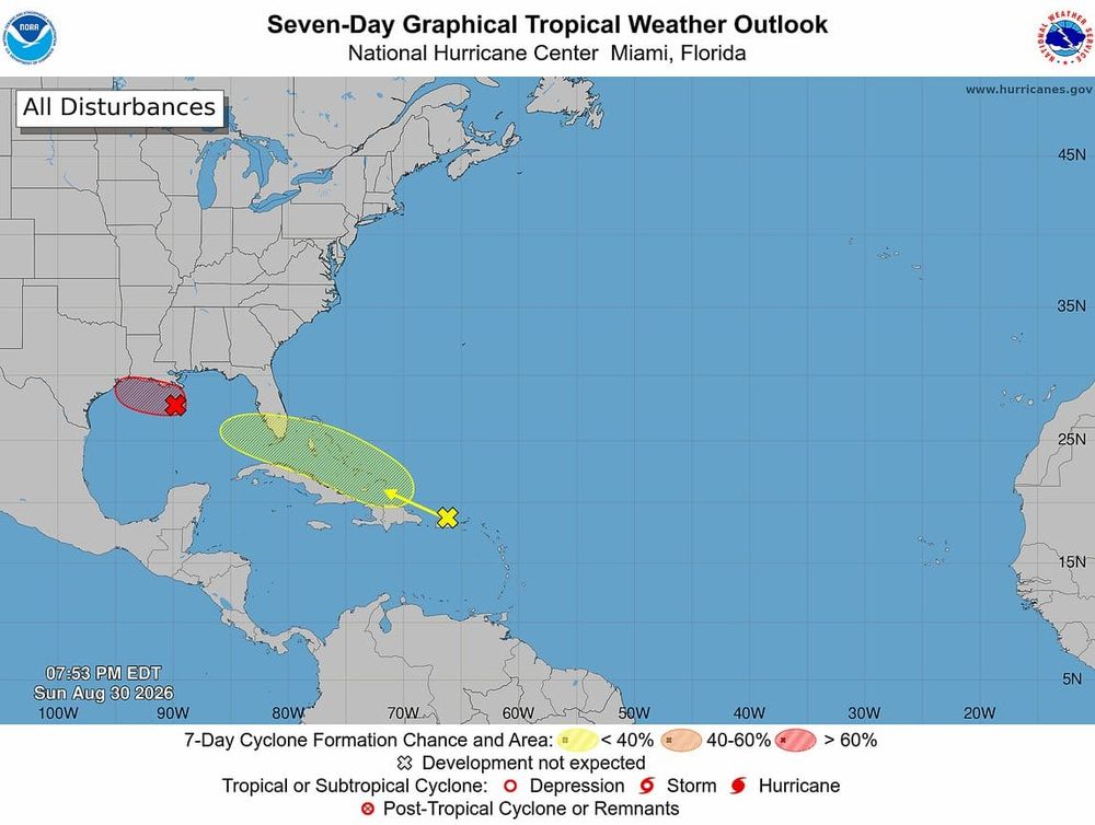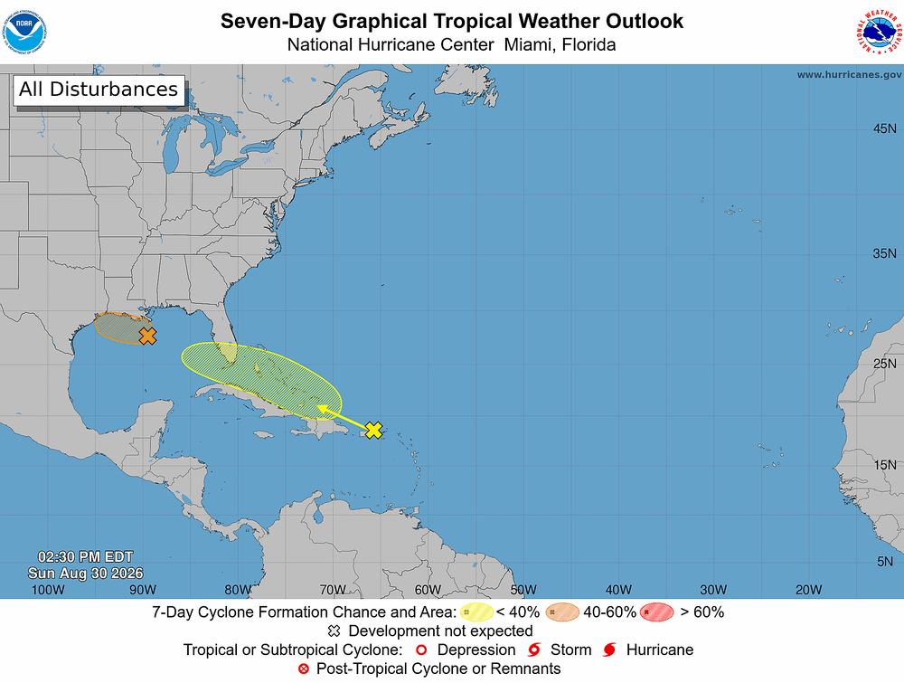
Forecasters are monitoring a broad area of disturbed weather that could organize near the Southeast coast or eastern Gulf of Mexico later this week. Confidence remains low on whether the system will become a named tropical cyclone.
Why it matters:
Heavy rainfall poses the greatest concern across the Southeast, regardless of tropical development. Repeated rounds of rain could increase the risk of flash flooding from Florida to the Carolinas.
Driving the forecast:
- A stalled frontal boundary drifting over warm Gulf and Atlantic waters could provide a favorable environment for gradual organization.
- Forecast guidance remains mixed. European AI guidance develops a tropical storm, while other models maintain a weaker, disorganized area of low pressure.
- AI forecast guidance shows increasing support for development, but significant uncertainty remains regarding track, timing and strength.
By the numbers:
Rainfall totals of 4 to 6 inches could occur in isolated areas where thunderstorms repeatedly track over the same locations during the next week.
Bottom line: Flooding, not wind, remains the primary hazard at this stage. Residents along the Gulf Coast and Southeast should monitor forecasts closely as confidence in the system's evolution improves.