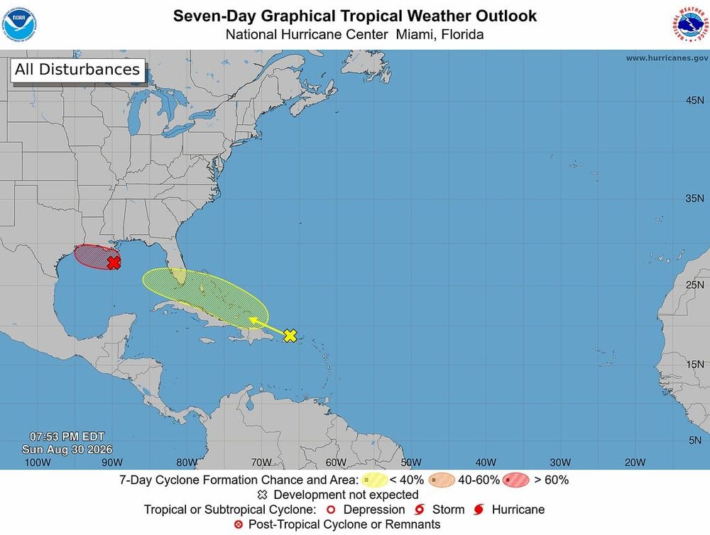
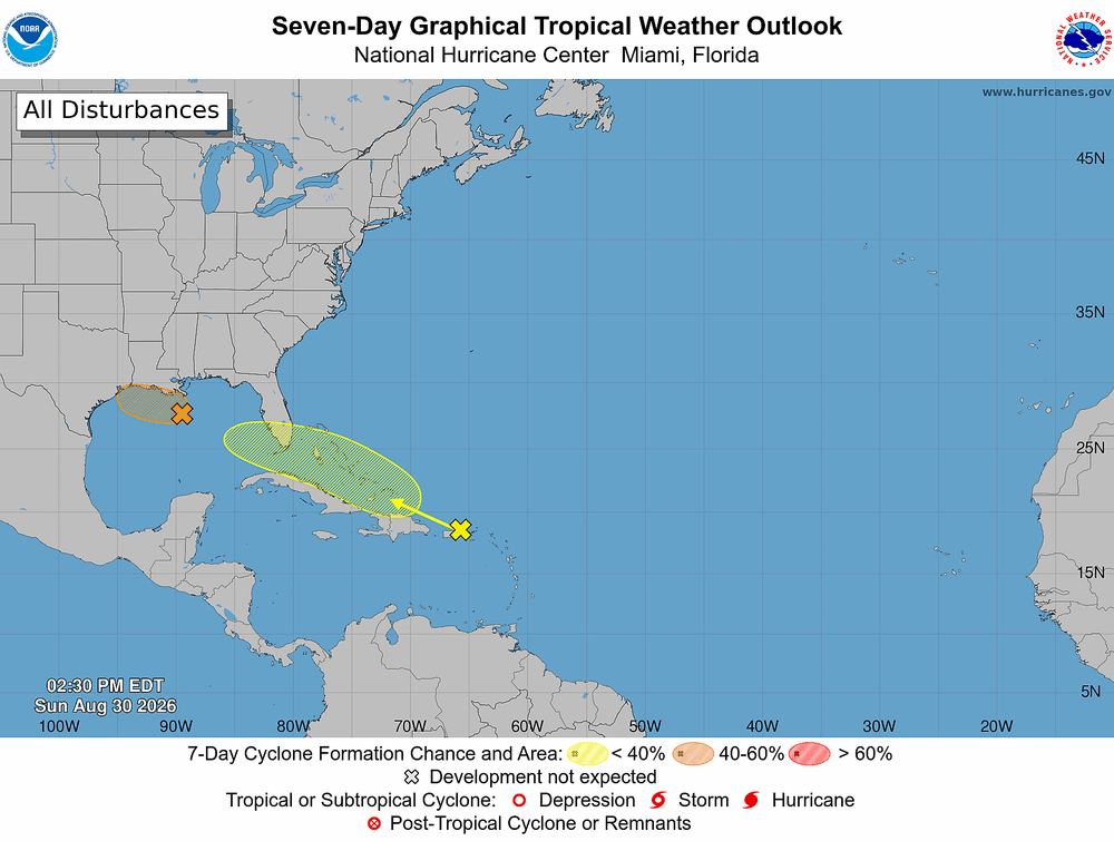
Forecasters are watching a disturbance in the eastern Gulf that now has a 30% chance of tropical development over the next seven days, but heavy rain and localized flooding remain the primary concerns for Tampa Bay regardless of whether a storm forms.
Despite looking like a tropical storm on satellite, this system is currently being driven by the jet stream rather than tropical forces. However, as it lingers over the warm eastern Gulf this weekend, it could develop into a tropical depression or Tropical Storm Bertha.
— Noah Bergren (@NbergWX) July 17, 2026
What it… pic.twitter.com/janakNMT9e
The latest:
- National Hurricane Center increased development odds to 30% over the next week.
- Some high-resolution forecast models now suggest the system could organize into Tropical Storm Bertha by Sunday or Monday.
- Other models show little or no development, underscoring continued forecast uncertainty.
What forecasters are saying:
- The disturbance is currently driven by the jet stream rather than tropical processes.
- Warm Gulf waters could allow gradual development if the system lingers this weekend.
- Meteorologists caution that high-resolution models often strengthen systems too quickly, especially beyond 48 hours.
What to expect:
- Periods of tropical downpours are expected through the weekend.
- Localized flooding is possible, especially along Florida's Gulf Coast.
- The weekend is not expected to be a washout, with rain arriving in bands between dry periods.
The bottom line: Tropical development remains possible, but confidence is low. Tampa Bay's greatest risk through early next week continues to be heavy rain and localized flooding, not a named storm.