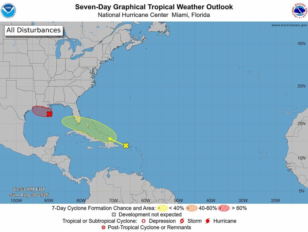
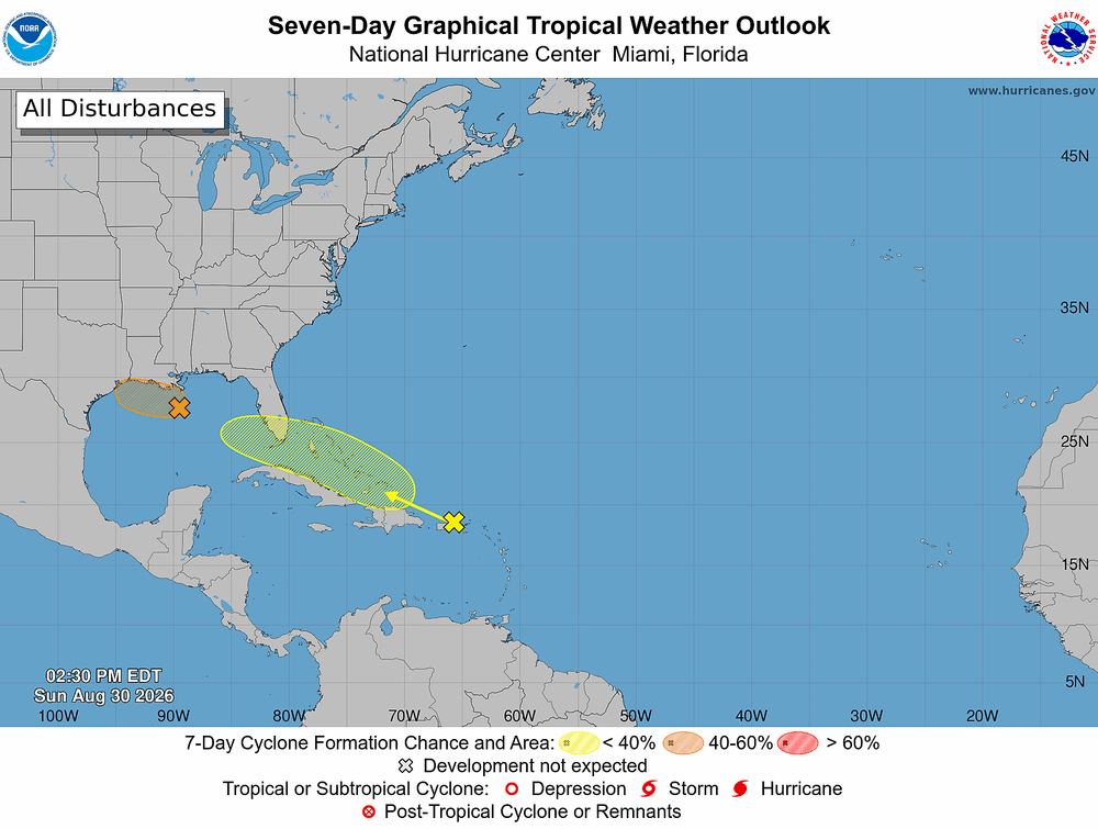
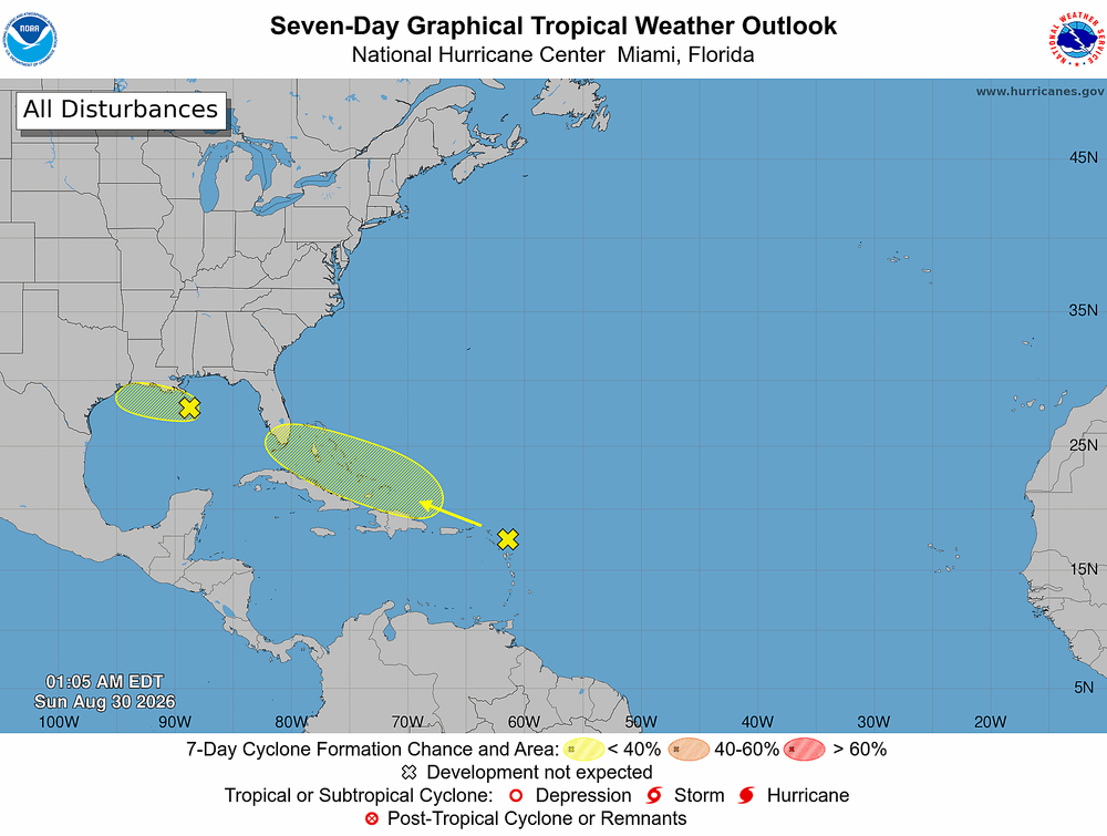
Tampa Bay faces a wetter and stormier weekend as a tropical disturbance moves north through the eastern Gulf, but forecasters do not expect a total washout.
The latest:
- The National Hurricane Center designated the system Invest 91L and raised its development chance to 40%.
- A tropical depression or Tropical Storm Bertha could form west of Florida within the next one to three days.
- Forecast confidence remains limited, and many tropical disturbances never become named storms.
What an Invest means: The designation allows forecasters to run specialized hurricane models and consider sending Hurricane Hunter aircraft to investigate. Invest 91L is not a tropical depression or named storm.
Tampa Bay impact:
- Periods of heavy rain and squalls will move from south to north along the Gulf Coast.
- Localized flooding could develop where storms repeatedly cross the same areas.
- Gusty winds, frequent lightning and rough coastal conditions are possible.
- Added wind energy could produce an isolated waterspout or brief tornado somewhere across the Florida Peninsula.
From the @bn9weather team: The area of Low Pressure in the Gulf will continue to meander this weekend just west of Tampa Bay. This will result in more rounds of showers/t'storms passing through the area. pic.twitter.com/lSoqPrRKDf
— Spectrum Bay News 9 (@BN9) July 18, 2026
Weekend outlook: Conditions should resemble an enhanced summer storm pattern, with rounds of rain separated by dry periods. Outdoor plans may face delays, but the weekend will be far from a complete washout.
What’s next: Invest 91L is expected to move slowly north, roughly parallel to Florida’s Gulf Coast. Organization could increase if the system remains over warm Gulf waters.
The bottom line: Tampa Bay should prepare for periods of heavy rain and localized flooding, not a major tropical storm threat. Development remains possible, but rainfall will be the main concern whether Invest 91L earns the name Bertha or not.